This is what I did in Iceland last summer! There was no point posting it as an Iceland Itinerary then because optimal Ring Road road trip season would have been well and truly over by the time it got posted, but this year it’s going up almost exactly to the day from when it started last year. A Ring Road itinerary fresh for the summer!
This one isn’t an optimal one of the kind I’d recommend to someone who wants to discover Iceland and the wonders of the Ring Road. It’s literally just what I did. There’s a lot of hot water, hence titling it Sixteen Pools, which is the title of the mini book I wrote last year. I just wanted to get everything cleared out of my brain so I could concentrate on what’s actually going in my Bath Book. The Bath Book will one day be finished and published but Sixteen Pools will never see the light of day. So it’s all kind of going into this hot water-heavy itinerary.
Day one: arriving and Geysir
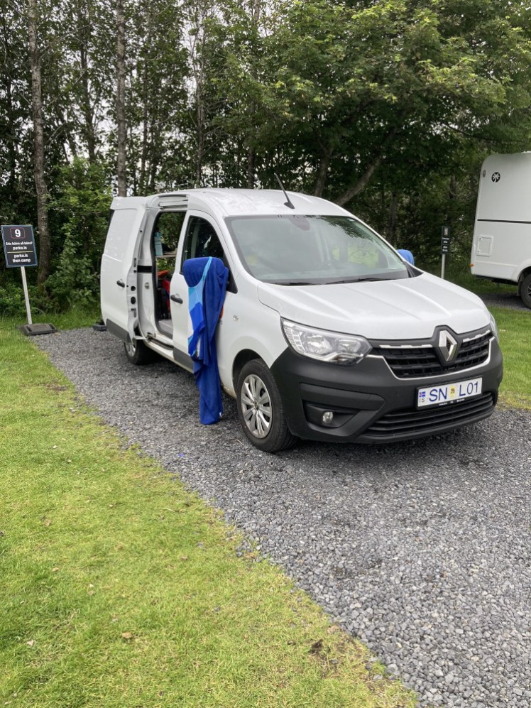
I arrived mid-afternoon at Keflavik, took the shuttle to GoCampers and picked up a van. Combination of Big Birthday and inheritance, to splash out on a van rather than the smallest car and my one-man tent and yet, in the end, I probably would have enjoyed the tent more.
I drove to Geysir via the Reykjanes south coast because I’m a big chicken who refuses to even skirt around Reykjavik. Too city for this country girl. I think I stopped at Hveragerði for some supplies – I don’t remember stopping anywhere else until Akureyri and I definitely ate during my first week so I must have. I’ve always wanted to camp at Geysir and it’s never quite worked out – to sleep to the sound of exploding water and spend the evening enjoying the geysers after the tourists have gone home!
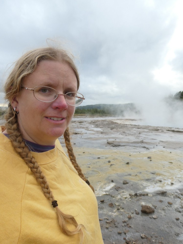
They don’t go home. They were still there at 10pm.
Day two: the west
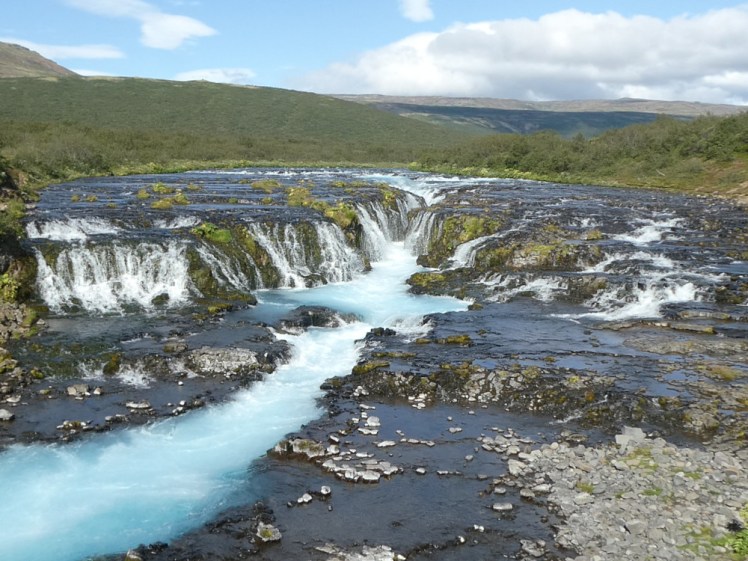
They’re also there by 7.30am. Yeah, I tried again in the morning. I’m gatekeeping the first pool because it’s a lukewarm pond in a field without the infrastructure for blogs to send people there but I stopped at Brúarfoss, which I can’t believe I’ve never seen, and then went on to Hvammsvík.
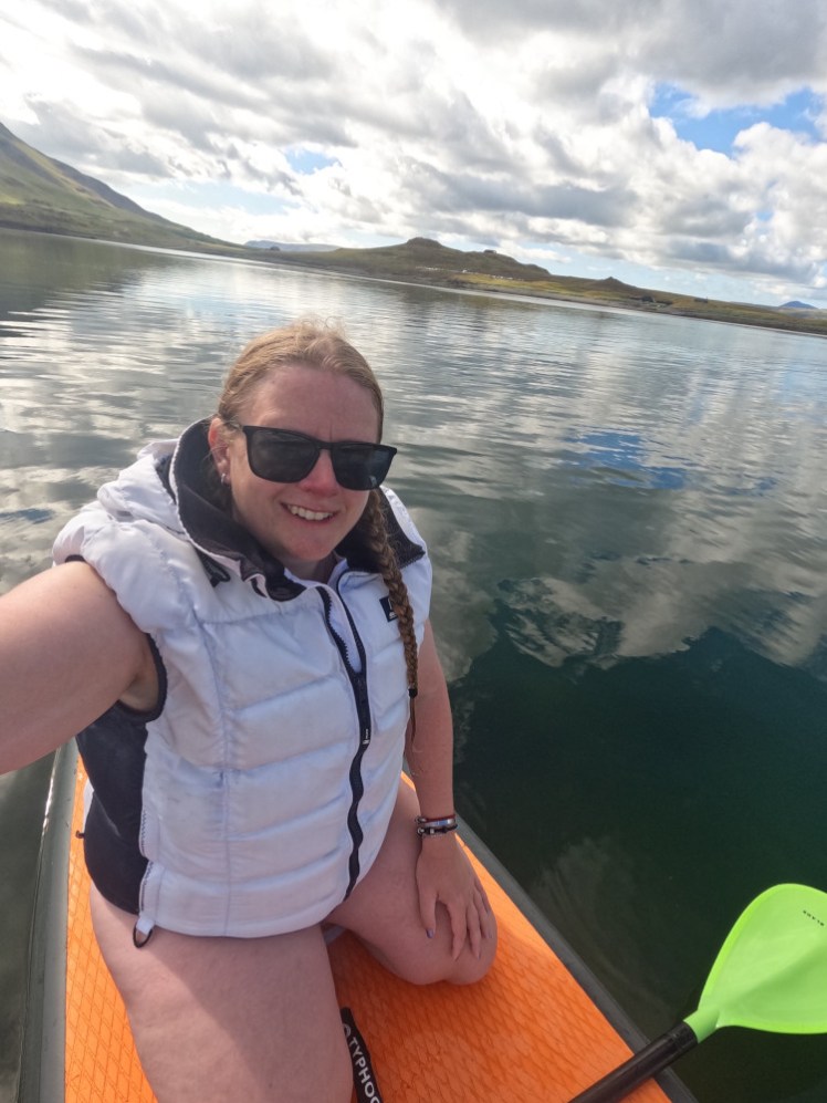
Now, on winter mornings when there are only six people there, I adore Hvammsvík. But a summer afternoon is very different. On the bright side, in summer they let you borrow a paddleboard and go out on the fjord, which would have been amazing if there hadn’t been so many jellyfish.
Afterwards, I drove round the Whale Fjord and then up to Húsafell, somewhere else I’ve always wanted to camp.
Day three: still in the west
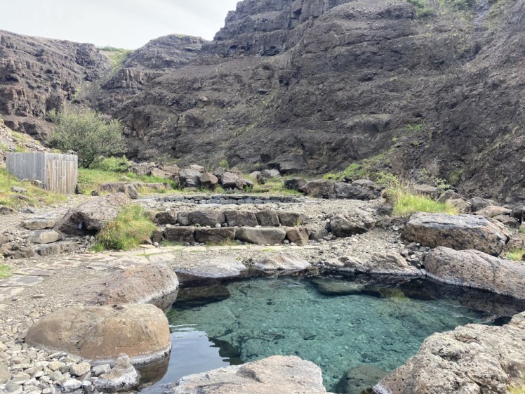
My third bath was the Canyon Baths. Their location is top secret and the only access is on a tour departing from Húsafell, hence camping there. They’re the wildest-feeling not-actually-wild baths I’ve ever been in!
But as I drove east back to the coast, it began to rain. What to do? No, really. What to do? I didn’t want to go straight to tonight’s campsite, which had mediocre reviews, I now realised. Ok, I’ll go and enjoy Europe’s biggest hot spring, Deildartunguhver. And guess what? Once I was there, I talked myself into going to Krauma, which is a little overpriced and overrated but at least isn’t on most tourists’ radar.
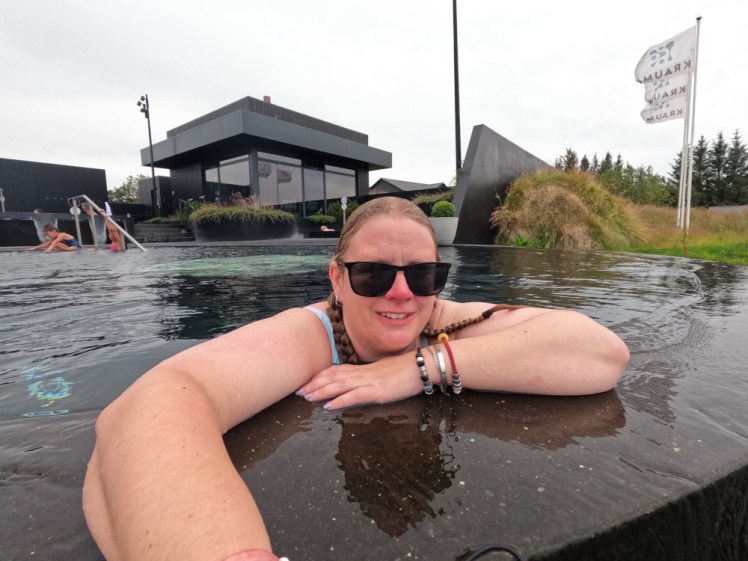
Then I camped, for the third time, at Hverir which is in the tiny settlement opposite, which is a farm and restaurant with a polytunnel as a common room and it is extraordinarily hot. Good for drying damp swimwear. Indoor hot plate. Friendly cats.
Day four: heading north
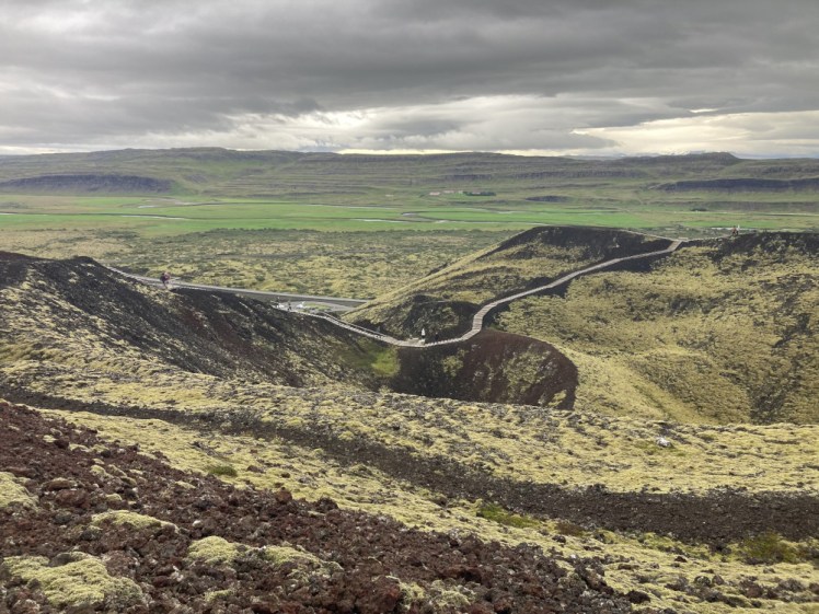
Writing this during the third or fourth unnatural heatwave of the year, remembering this grey, damp, tolerably cool day in Iceland feels like a dreamworld. I shortcut just a tiny bit north to go west back to the Ring Road and then drove up to Bifröst, which is a small university town in a lava field but it’s most interesting to me because of the roadside volcanoes, Grábrók. I’ve climbed them twice before but I find it very hard to drive past without stopping to climb them again. So I did. It was clearly damp enough that morning that I needed my waterproofs on.
Then I wended my way north, stopping at everything that looked vaguely interesting while bearing in mind that by tomorrow evening, I need to be at the Forest Lagoon, so I’ve got to get to Akureyri at some point in the next 36 hours. In 2023, I drove from Þingvellir to Akureyri in one day, so it can be done, but on that occasion, I just put my foot down, except one or two snack or fuel stops. You add “stop at everything that looks interesting” to the itinerary and suddenly it takes days to get across north Iceland.
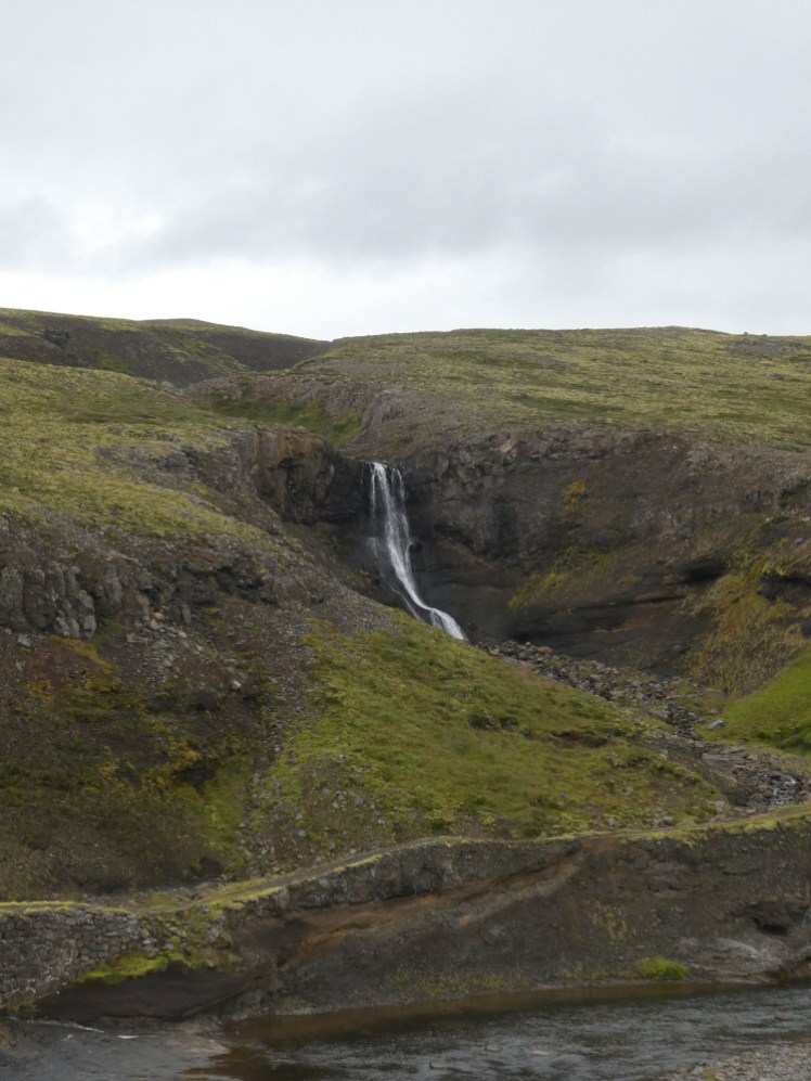
I stopped at a place called Kattarhryggur, which is a small waterfall that most people drive straight past, plus something resembling a dirt track that used to be the main road to Akureyri before the Ring Road was built, and an old bridge. Well, strictly speaking I think the bridge might be called Kattarhryggur but I can’t find a name for the waterfall so I’m using it. I stopped for a picnic in the van at the turning onto the 721 and then I drove up to Þingeyraklausturskirkja, which is an old monastery where a lot of the Icelandic sagas were allegedly written. It has a beautiful ceiling but you either get lucky with it being open or you don’t, and this time I wasn’t. And I stopped at Glaumbær which is an open air museum starring a turf house complex which was absolutely overrun with tourists, which astounded me simply for the fact that there were so many people at a place I’d never even heard of.
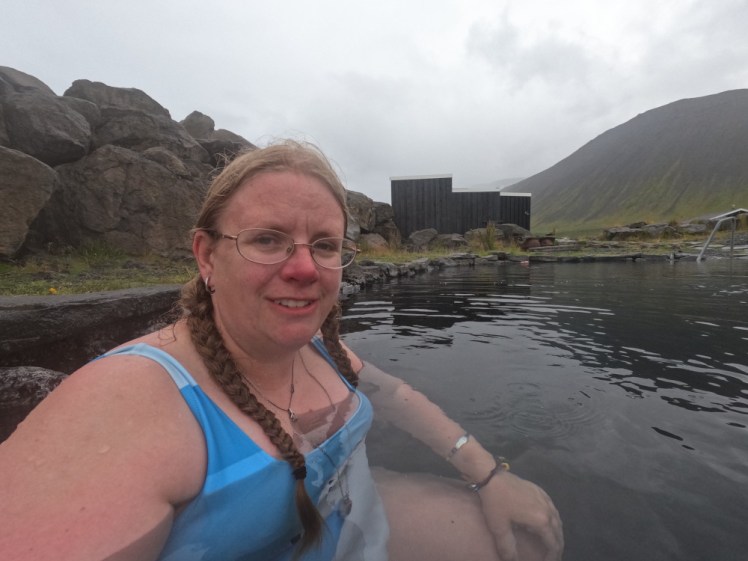
Then I drove up the fjord to Grettislaug, my next pool, which is a semi-natural hotpot next to the sea which appears in the Saga of Grettir the Strong. It’s got a campsite attached and I stayed there, although my original plan had been a dip and then a drive back to Sauðárkrókur which is the nearest actual human settlement. But it’s at least twenty minutes on rough gravel roads and the appeal of a campsite with a hot pool plus not driving that road again so soon was enough to keep me there overnight. It was quite busy but it’s a lovely spot to spend a night. For my daily walk, which I hadn’t got round to, I walked past the pools and out to the headland and the so-called glittering beach, which wasn’t glittering but there was no one there. People do seem to arrive at campsites and stay right there so if you walk around the area, that’s where you’re going to find you’re avoiding the crowds.
Day five: in the north
I got up just after 7 and went back to the pools. I’d enjoyed them last night but I thought I had more chance of having them to myself at this hour. And I did! For twenty whole minutes I had Grettislaug to myself! I stayed in there a long time before deciding I really had to get to Akureyri today.
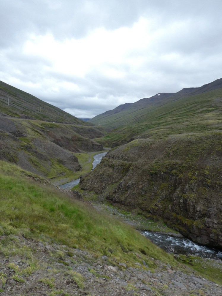
Still trying to find interesting places to stop at in the north, I found a roadside canyon somewhere between Varmahlíð and the Akureyri turning and that was definitely worth it. It’s a three-way canyon and if you care to make the effort (which I should have but didn’t) you can make your way all the way down to the water where there’s a little bridge. If you don’t go all the way down there, you can probably make friends with some very noisy sheep.
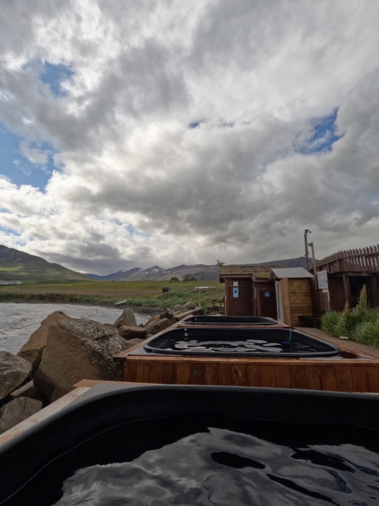
When I got to the Akureyri turning, I turned left instead of right and headed for a tiny seaside village called Hauganes which has some community hot tubs right on the beach. They’re most notable for the one shaped like a sailing boat but it had a sign on it warning that the water was cold. Whether that’s the cold plunge pool or whether it had a temporary failure, I wasn’t sure. It’s a little busy with families because this is very much “local hot tubs for local people” and you can also dip in the freezing cold ocean off the north coast of Iceland if you really feel like torturing yourself.
Then I went on to Akureyri. The old campsite in the city centre is long gone so I had to drive through town to Hamrar, the massive Scout/public campsite to the south. It was about 4pm by now and this campsite was ridiculously busy. I found a spot that wasn’t actually pressed up against someone else’s tent or van. The thing is, even after morning in Grettislaug and afternoon in Hauganes hot tubs, I wanted to go to the public pool in the town centre, a three-minute walk from the old campsite. Four whole kilometres from Hamrar. If I drove, I’d never find a space in the campsite when I got back. Having paid for it, I’d either end up sleeping on the road outside or giving up and driving out to Systragil – more on that later. So I walked. Four kilometres there, four kilometres back and after a swim in the pool, I really regretted not bringing something to drink or snack on as I walked back.
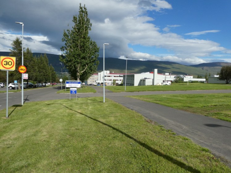
Akureyri’s pool, the first public pool on this itinerary, is a nice big complex. 25m pool used as a play pool and a 25m pool used for swimming lanes. Hot pots, slides, two big social hot tubs and an entire gym complex attached, because this is the big city by Icelandic standards. It’s actually much the same population as my tiny rural market town which no one has heard about more than twenty miles away. But Akureyri is the Icelandic Manchester. I didn’t swim as many lengths as I should have but I did a few and I enjoyed soaking in the hot tubs. Didn’t so much enjoy another four kilometres back to the campsite where my nearest neighbours were two feet away from my van on every side. I was beginning to realise that campsites are busy in Iceland these days and they’re especially busy if you’re in the vehicle area rather than the tent field.
Day six: Akureyri
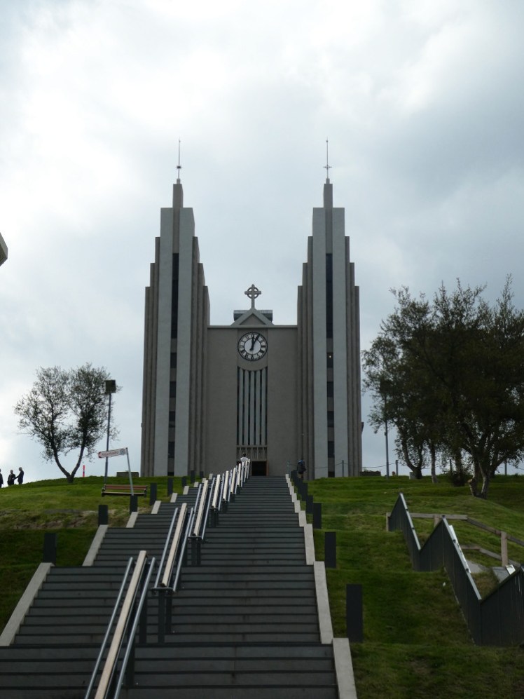
Ok, Akureyri isn’t really equivalent to Manchester. You can keep yourself entertained in Manchester for days, if not for weeks. Akureyri… not so much. I had a croissant and orange juice in the bookshop cafe, I walked around the main street and the seafront, I browsed the leaflets in the tourist information office to find something to do. I wanted to go in the church but there was a big funeral being held there so I went back when it was over and sat outside for another half hour until I could actually go inside. And it’s a nice church, designed by the same man who designed Hallgrimskirkja in Reykjavik, and it definitely has some design cues in common but it’s not like a medieval cathedral where you can spend hours exploring.
So my highlight was an evening in the Forest Lagoon, just across the fjord from central Akureyri. It’s nice but it’s a long way from my favourite lagoon. It was quietly having an expansion while I was there and opened the new extension a matter of weeks later but still, it’s relatively small and everyone gets a drink from one of the two bars and then lines up against the front wall to drink it. It’s like being in a giant wet bar rather than a lagoon, even with the raised waterfall pool and the sauna and the cold plunge pool.
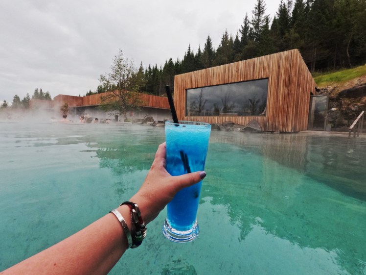
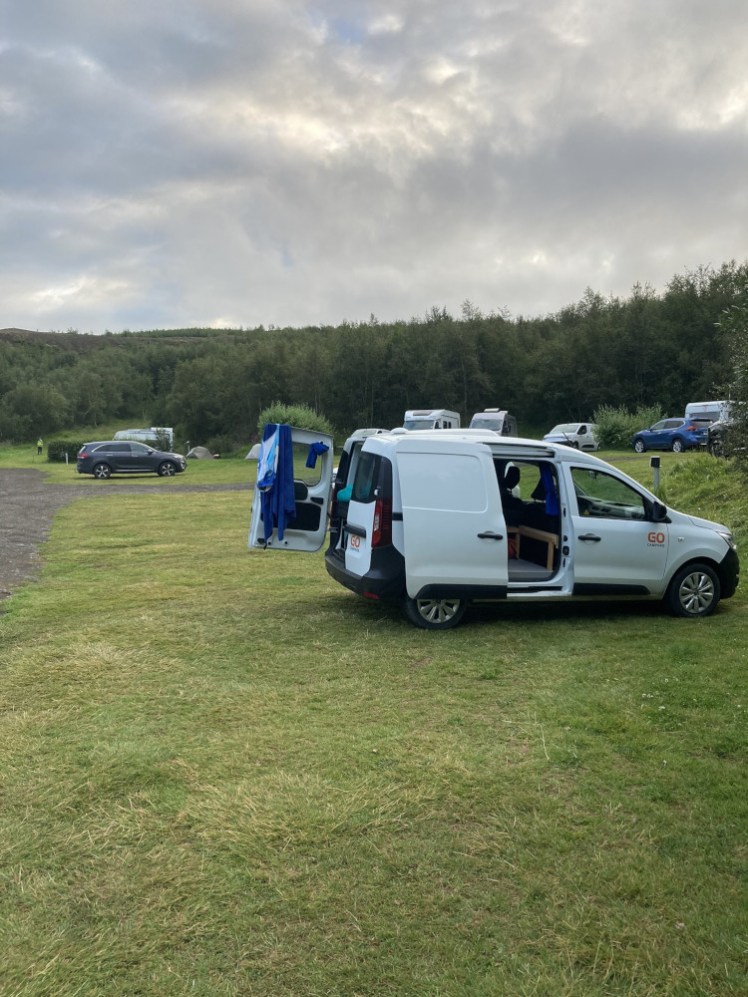
I’d paid for two nights at Hamrar but by the time I got out of the lagoon, it was eight or nine at night. No way was I going to find a van space at that hour and nor did I really want to. So I drove through the tunnel and spent the night at Systragil, which was a tiny campsite in a little valley in the middle of nowhere two years ago but was now quite busy. Not as bad as Hamrar, much more rural, much more peaceful. And you can find a space there at 9pm instead of sitting in a queue for the entrance for an hour.
Day seven: the Diamond Circle
Yesterday was my birthday and Akureyri turned out to be an uninspiring place to spend it so I had an official birthday today. The Diamond Circle is a tourist route linking some of the most popular tourist spots in North Iceland and although I’ve seen them all many times before, I thought that would make a much better birthday.
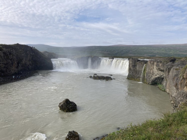
Stop one was Ljósavatn, a lake by the side of the road where no one else seems to stop. Scenic. Then onwards another five or ten minutes to Goðafoss, a horseshoe-shaped waterfalls where Þorgeir Ljósvetningagoði, a local chieftain, symbolically threw his chief-poles over the waterfall to publicly mark his conversion from the old pagan religion to Christianity. The name means the Waterfall of the Gods. It was still early enough that there were more spaces in the car park left than cars but by the time I got back, it was filling up and so was the one on the other side.
Then onwards to Húsavík, where I made a quick stop at the Nettó, probably for bread but came out with three packets of my favourite sour cream star-shaped crisps, which are quite hard to get hold of. Húsavíkis the self-proclaimed whale-watching capital of Iceland so the town centres on the harbour. I didn’t want to go whale-watching – not a great activity for emetophobes but I also had a pretty long day planned – so I just walked down to the harbour and had a look around.
Then upwards to Ásbyrgi, which is a horseshoe-shaped canyon carved either by Odin’s eight-legged steed or by a glacial flash flood. It’s all filled with forest and a big pond, which has had viewing platforms added around and over it since I was last there. This would be a great place for a picnic and a leisurely afternoon except everyone’s on their own Diamond Circle tour and got to get a move on. So the next stop is Dettifoss, one of the most powerful waterfalls in Europe. The western road is mostly paved and the car park is right by the waterfall, along with properly maintained paths and because the spray from the waterfall tends to get blown this way, everything is green and lush. But I prefer the east side which is entirely gravel and pretty rough. I had the windows part open and later discovered that literally the entire van, from myself and the stuff on the front seat to my plates in the back were lightly coated in brown dust.
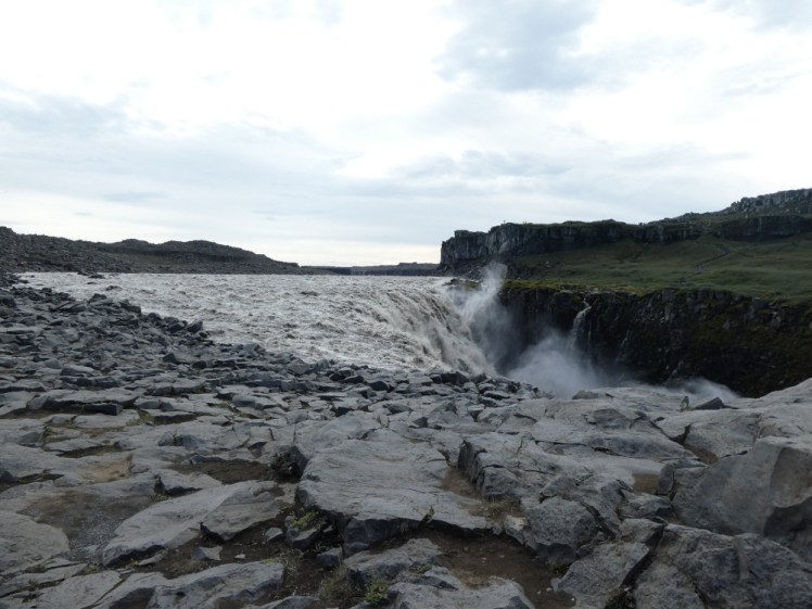
The east side is just grey rock. The car park is scratched out from the rock and you have to pick your way over grey rocks to a grey cliff overlooking the grey waterfall and it’s just wonderful. It’s so post-apocalyptic and so wild and the green side is less than 100 metres away but completely separated by this massive waterfall and the chasm it plunges into and an uncontrollable glacial river. Spectacular. I love it.
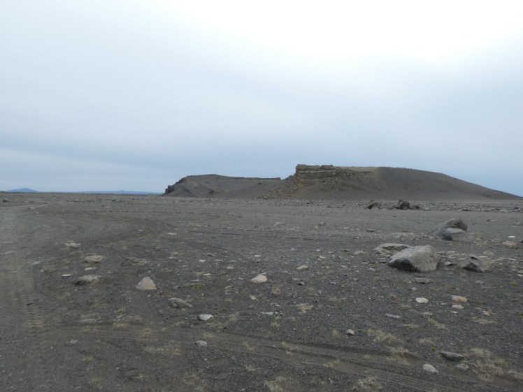
I drove back down to the Ring Road, another 35 minutes of bone-rattling dust-laying gravel road and then up towards Mývatn. On the way, there’s a lovely collapsed crater called Hrossaborg. Trouble is, it’s a couple of hundred metres beyond a “no rented cars on this F-road” sign. Now, it’s no rougher on those couple of hundred metres than the road from Dettifoss and there’s no river to ford in that distance. No reason whatsoever why I shouldn’t drive there. Except that it’s technically illegal and GoCampers would see me drive past that sign on the alleged cameras and I’d be in trouble on the return. So I parked by the information sign at the junction and walked. At least two cars passed me as I strode along that dusty rutted road and neither of them thought “let’s just stop and see what this idiot is doing”. Walking to the crater! It’s a good crater and I should have walked right up and into it instead of just to it but at least I got to it.
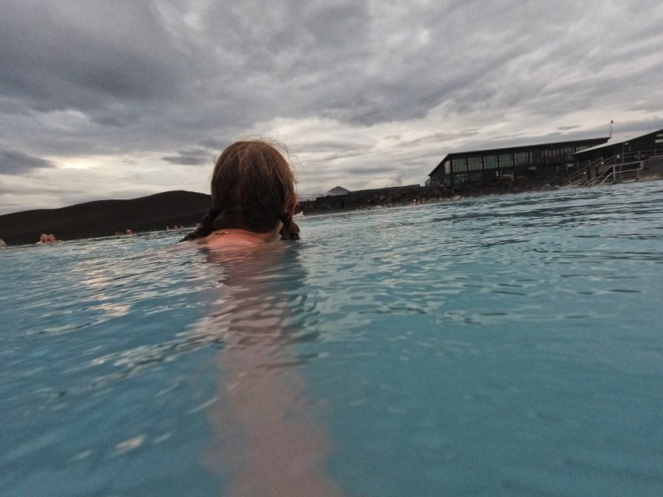
And if you’re in Mývatn for an evening, what do you do? You go to Mývatn Nature Baths! It’s been rebranded as the Earth Lagoon since last summer and the extension work is finally finished and I’m looking forward to going back and finding out what it’s like these days. When I was last here, in 2023, it said that work would be completed for the summer of 2024 and I was sort of disappointed that I didn’t get to go there in 2024 and see it. But when I arrived in 2025, they were saying exactly the same thing: work will be finished next summer. But this time they were right! From the pictures, it does look like they’ve extended the place rather than completely rebuilt it. It’s got a new service building with new changing rooms and there’s no longer construction work blocking the volcanic views, so I’m looking forward to seeing that.
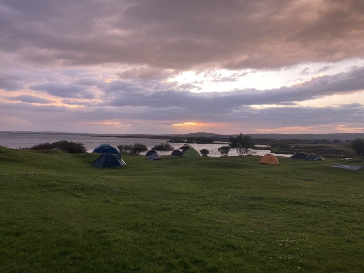
Then I went back to the campsite by the lake, where I took my tiny yellow tent in 2012 and 2023 and found it’s a very different experience over on the tarmac on the other side of the site, where you’re fighting for space with everyone else who’s landed here on their Ring Road journey.
Day eight: Mývatn
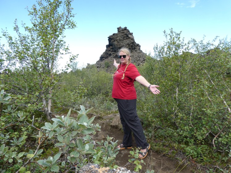
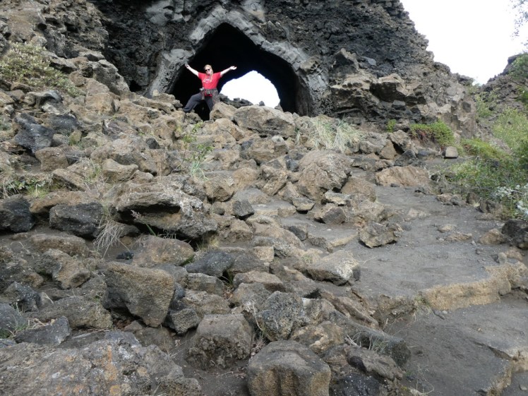
My first stop for today was Dimmuborgir, a labyrinth of volcanic leftovers filled in with birch trees. It’s got several walking routes, which can go from a couple of kilometres to basically a full day hike. There are two main photo spots. The first, a big arch, is a good viewpoint over the volcanic landscape. I arrived there as a tour was taking selfies, so I waited – only for a second tour to push in front of me while its guide took a ton of acrobatic posed selfies and looked at me, waiting my turn, like I was inconveniencing her. But I did what no one else did and continued past the arch and into the lava field on the other side where I got some better selfies, not least because there were lava formations at good heights to be a tripod.
I kept strolling until I lost all the tourists and found the Church, the other significant photo spot, which I had to myself. It’s essentially a lava bubble. The lava here flowed over marshland. Lava plus water equals lots of steam and some of it got trapped under the lava and blew it up into a big bubble. Then the lava cooled in that shape and there it still stands today, only the front and back have collapsed, to make something like a rough black version of this Christmas baubles you’re meant to take selfies with at Christmas markets. I got a couple of pictures there, timer selfies with lava as tripod again, and then a woman and her daughter came along and she offered to take photos of me.
So that took a long time, walking around this lava labyrinth. I had lunch in the van in the Dimmuborgir car park and then drove down the lake to Skútustaðir which has a lot of pseudocraters. They’re kind of like the Church – bubbles blown by lava flowing over the marsh but in this case, the tops collapsed, making bubbles that look more like miniature craters and they’re all covered in grass. This is one place I’ve meant to explore for quite a while and never got round to it. The trouble was that it was a really windy day. You don’t notice that when you’re roaming a lava labyrinth but you do when you’re walking a circuit of mini craters on the edge of the lake. Really windy.
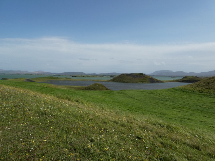
What I should have done after that was either go back to the Nature Baths or drive back to Husavik and go to Geosea. Once upon a time I went to the local swimming pool in the village on the edge of the lake but it’s long gone. I guess this is one of the rare places in Iceland where there just aren’t enough locals to support a pool and the tourists never even notice the pool is here when the Nature Baths are right on the other side of the road. What I actually did was go back to the campsite and spend the evening in my van.
Day nine: going east
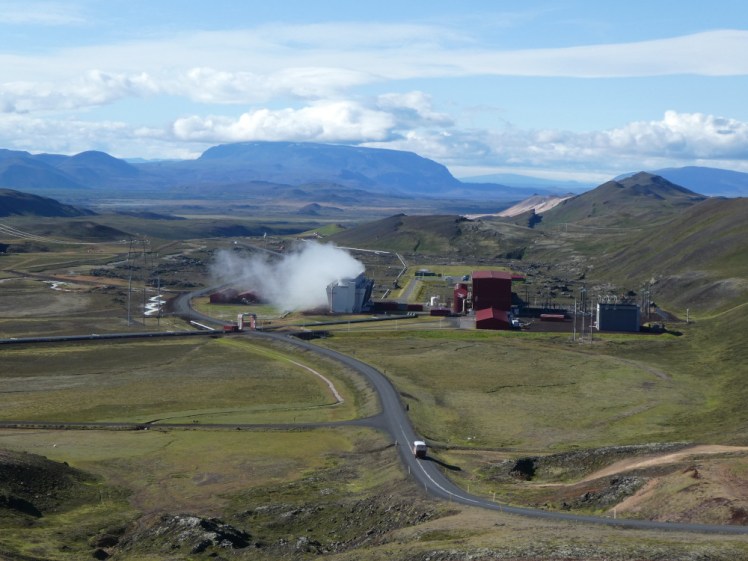
It remained windy the next day. After popping briefly into Grjótagjá, aka the cave from Game of Thrones, I went off on a little shopping mission. There was a t-shirt in the little shop at the Nature Baths that I’d spent 36 hours obsessing over, so I thought I’d drop in and buy it after all before setting off but the Nature Baths didn’t open until 10 or 11. Fine. I drove up to the Krafla viewpoint, stopped at the roadside Eternal Shower and went to the exhibition at Krafla Power Station. It’s a bit underwhelming considering what you could see or do here but it felt like a good place to stop. A bit of education after all the hot water.
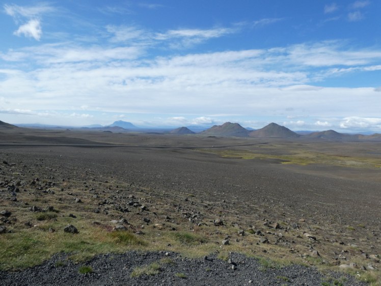
Got the t-shirt. Drove east across Ódáðahraun, the Desert of Misdeeds, aka the lava field that covers a huge chunk of the north-east of Iceland. For the first hour, there was some kind of dust storm in the distance that made me a bit nervous. It’s a thing with Icelandic car rental that sandstorms can strip the paint off your car and you should pay extra for the insurance for that, which I hadn’t. Actually, at first I thought it was smoke. Wildfires aren’t a big thing in Iceland because there isn’t a lot of flammable stuff and this area is particularly non-flammable, being nothing but dust and rock but I did wonder what I was driving into. I love driving across the Ódáðahraun; it just feels so very wild and so very open and like no one else really appreciates what they’re seeing.
Then I saw a sign for Stuðlagil, which is Instagram’s current favourite canyon. A decade ago, everyone went to Fjaðrárgljúfur in the south because Justin Bieber once filmed a video there but now everyone goes to Stuðlagil. So I detoured to Stuðlagil. It’s easily half an hour from the Ring Road, if not longer, and it finishes in a very rough car park that my little van wasn’t really designed for. Then you hike maybe three kilometres alongside the river until you get to the popular bit of the canyon, which is where it narrows and the walls are pristine hexagonal basalt columns and the river is neon teal. Well, it is if they haven’t opened the sluicegates on the dam further up, which they hadn’t when I was there. I climbed down almost to water level but you really don’t want to end up in the water, which is very deep, very cold and very fast-flowing. Just far enough down to take some pictures and then climb back up.
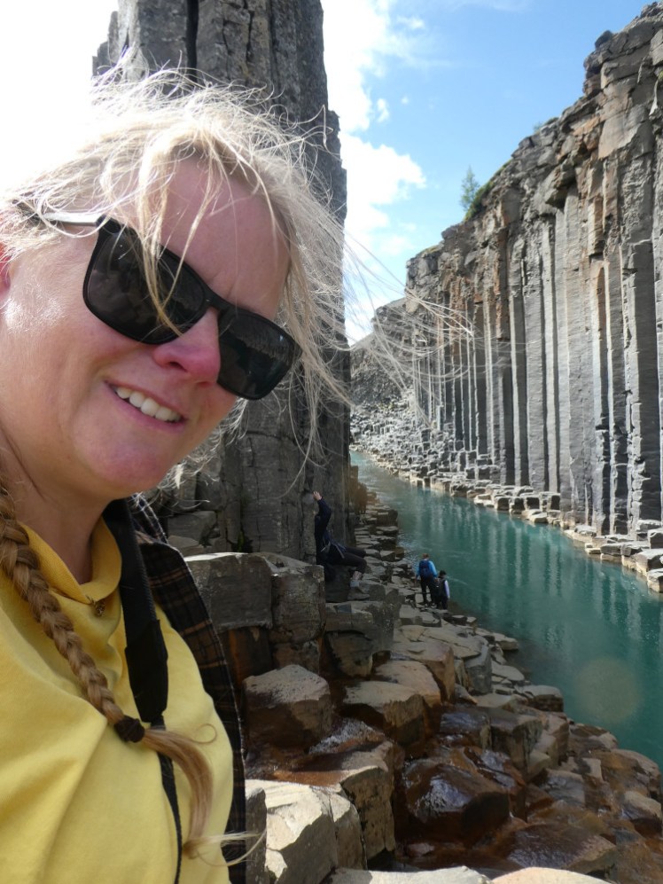
I should have stopped in Egilsstaðir, which I did for long enough to stock up on some food supplies. But the campsite here was too busy two years ago and I could well imagine it would be packed by now so I continued to Eskifjörður which is a small place on the edge of the Eastfjords. There’s a great viewpoint on the way there and an excellent pool. When I stayed in Egilsstaðir in 2015, I came round to this pool a couple of times. But it closes at 5 and what with my delay starting the day, the long drive, and the detour to Stuðlagil, it was just about 5 by the time I arrived at the campsite. No swimming for me tonight. I should have stopped at Egilsstaðir. On the other hand, Google Maps says their pool closes at 5 as well, so no benefit.
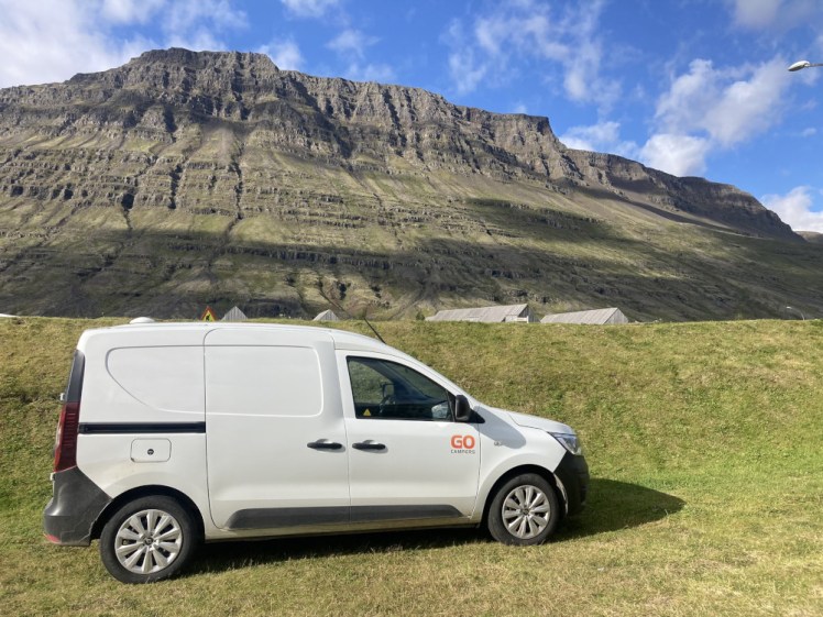
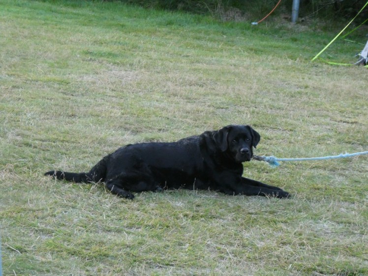
This really was a tiny campsite, just a field on the side of the mountain where you had to climb up the hill through the woods to get to the tiny one-person shower and toilet block. I met a nice dog – I sat in my van with the door open and the dog came and barked at me, so the owner came to drag it back to the caravan and we talked. Its name was Mason and its owners are Icelanders spending a week out east with a whole caravan.
Day ten: heading south
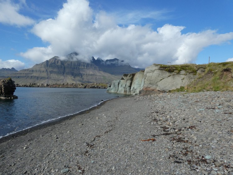
I hadn’t realised today is a bank holiday in Iceland. How many times have I been in Iceland on the first Monday in August and never noticed that? My plans to go to the pool first thing were scuppered by it not being open on bank holidays. Neither was the pool round the fjord at Fáskrúðsfjörður or the one at Breiðdalsvík, I think. I found a startlingly green cliff at a place called Blábjörg, which means the Blue Rock. It was definitely green and again, no one else was stopping there. I found myself following and being followed by a big yellow campervan. I overtook it at least twice and yet I kept finding it in front of me, so clearly whenever I stopped to look hopefully at the openings hours of a pool or at a bright green rock, it overtook me again.
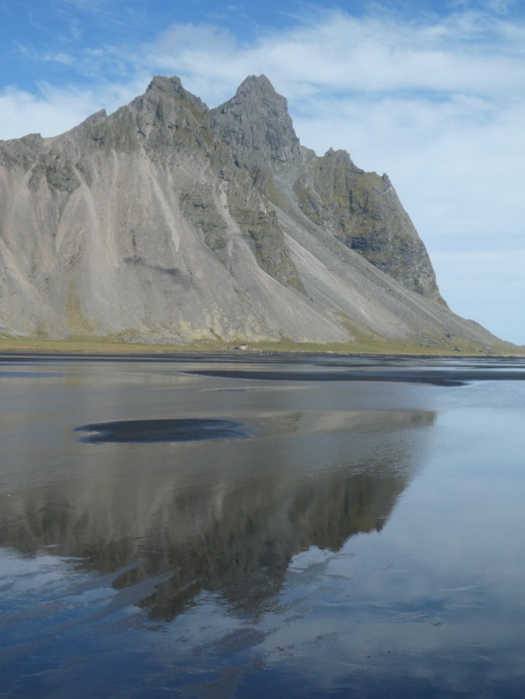
Once the Ring Road stops running around the south-east corner and is definitely on the south coast, the road runs through a tunnel and then immediately after that is Stokksnes/Vestrahorn. Down a bit of a gravel track and you find yourself in the car park of the Viking Cafe, which no one mentions. Stokksnes is another of these places you see a lot on Instagram but you never see the logistics. Park outside the cafe, go in and buy a ticket to the headland – or from the machine, if it’s working. Then drive across to the barrier where you scan your QR code and now you’re on the headland. The main place to see is the vast black beach with the jagged mountain of Vestrahorn itself looming over it. I’m sure the tide does come over it but it didn’t while I was there. It just had half an inch of water warming up under the sun. Wearing sandals, I could walk around at will, whereas people in proper shoes had to keep to the drier bits. You want to walk around here because part of the point of coming here is to get pictures of the mountain reflected in the wet sand.
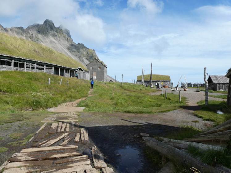
There’s also the remains of a Viking village down here which no one ever mentions. It’s a film set, it’s not genuine, but it’s quite fun to explore, give or take that you’re mostly not supposed to go inside any of the buildings and if you do stick your head in, the illusion is immediately broken. And then you drive along the causeway and there’s a rocky headland out there, a do-not-swim cove and a radar station.
Right opposite is Höfn, a small town by most standards but the only settlement within a couple of hours. I found myself a nice space on one of the “terraces” but this swimming pool is open on bank holidays and it’s a five minute walk away. So I went to the pool! This is day ten! I haven’t submerged myself in hot water since day seven!
Day eleven: Vatnajökull
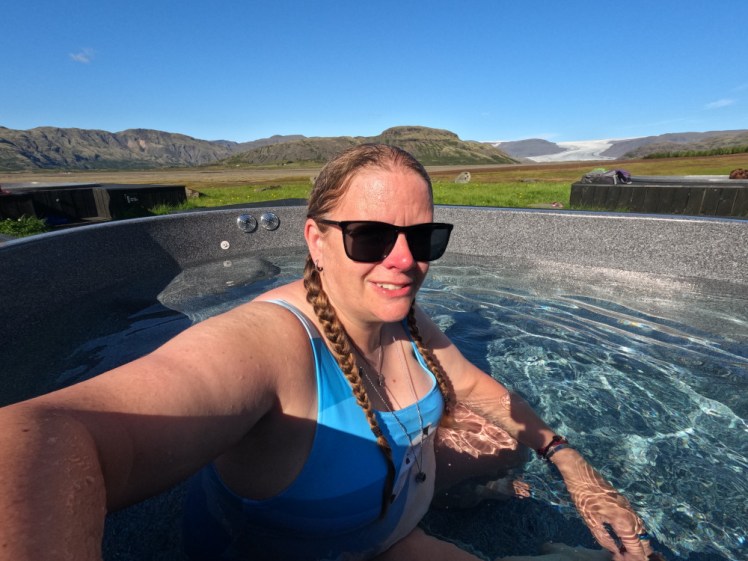
First stop was the Nettó in Höfn and then the fuel station right opposite the campsite. I’d got two-thirds of the way round the Ring Road and this was only my second fuel fill-up, so that van is clearly pretty efficient. My first real stop was Hoffell hot tubs, which require you to leave the Ring Road and drive through a surprisingly green and pleasant bit of field until you find a boutique hotel which has a little wooden changing room with Blue Lagoon shampoo and four hot tubs out in the grass overlooking the glacier. Great views! Well done to the annoying German women for asking before putting on terrible tinny music in that glorious setting that absolutely did not need tinny German music.
Most of the rest of the day was just driving along the south coast. I stopped a couple of times to climb hills, take in views and have a roadside picnic. I stopped off at Jökulsárlón, because who can ever resist stopping at a lagoon full of floating stripy icebergs, and then went over to what I insist on calling Breiðamerkursandur because I detest tourists renaming places. The signposts point you to Fellsfjara, Mountain Beach. It’s where the remains of the icebergs wash up once they’ve floated out to sea and they look like giant diamonds.
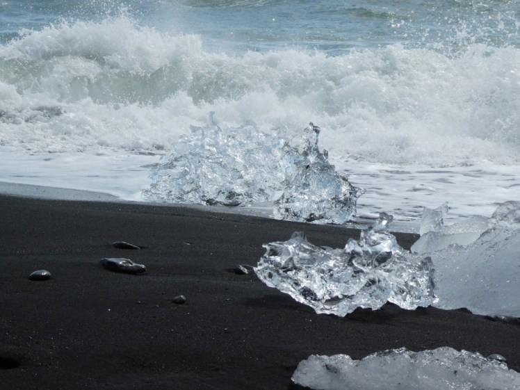
Further along the coast is Reynisfjara, aka the Black Sand Beach, famous because the waves are so dangerous but I couldn’t help thinking that Fellsfjara’s waves didn’t look a lot safer and no one was paying any attention to the water because of all the diamonds. But then, you never heard stories about tourists getting killed or having close calls here.
I camped at Skaftafell where I’ve often camped before. I like it there, until I’m trying to force wire tent pegs into rocky soil using nothing but my feet and whatever rock I can find. Usually I’d walk down to the local glacier in the evening but tonight I just chilled in the van. I’d learned by now that someone was definitely going to park three feet away from me so I parked in a corner with my sliding door positioned on the opposite side to the inevitable neighbour.
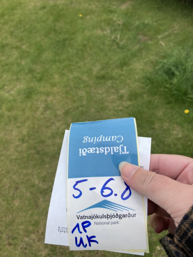
Day twelve: the south coast
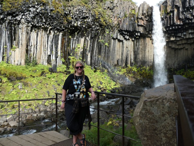
I started my day with a hike against the clock up to Svartifoss, a pretty waterfall that falls over a rim of black basalt columns into a “bite” out of the green woodland up on the mountainside above the campsite. According to the signs at reception, it takes about an hour and a half and I needed to do it in that time because if I went over it, I’d slide into a second day of parking charges. These places are all on ANPR, there’s no negotiating. There’s just “cameras have you here so here’s the fine for not paying for that”.
Actually, I had plenty of time. I did the hike in just under an hour and a half, including time to enjoy the waterfall and take pictures and time to walk down to the campsite reception and back and still be out in plenty of time.
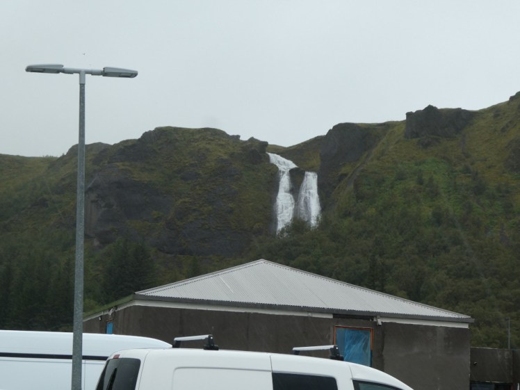
Then it started to rain. I walked up to the waterfall in a t-shirt, trousers rolled up and sandals, with my van key in one pocket and my phone in the other and laughed at all the people in their brand new mountain boots and their colourful waterproof jackets. But now it was raining heavily as I drove across the sandur, the grey gravel volcanic flood plain. I hadn’t really been planning to stop at Kirkjubæjarklaustur, a tiny settlement in the middle of the sandur but as I got closer, I realised it’s got a swimming pool and a swimming pool is a great place to wait out a rainstorm. So I did.
It’s a smallish pool with a very hot social pool so I spent most of the time in the kids’ pool, which is deeper than most and has shelter in the form of a bit of overhanging roof from reception and great views of the local waterfall, which tumbles from a mountain overlooking the town. Insanely, in this weather, there were people hiking up there.
By the time I reached Vík, an hour or two later, it had more or less stopped raining but literally half the campsite was flooded. This campsite is busy at the best of times but when half the space is gone, it gets really busy. There was a space round the back of the site, which is divided up by grassy earthworks, so I reversed in and positioned my door up against one of the earthworks. Neighbours on the blind side again! I’m getting the hang of this!
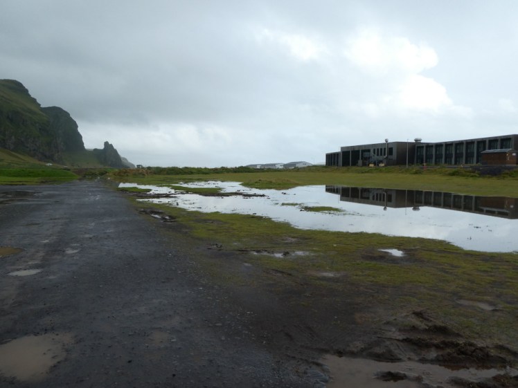
Obviously, I went to the pool. It’s just far enough that it might be easier to drive but it’s not a long way by any means, and you get to go via the beach. This is the other side of the headland from the famous and deadly one, so hardly anyone bothers to come here. Vík is a toilet, fuel and shopping stop for most people. I did swim a few lengths here but first I had to find out how big the pool is so I could calculate my target distance before I started.
On the way back, I stopped at the big shopping centre. This is where everyone along the entire south coast does their shopping, even when Höfn is technically closer, because the Krónan at Vík is better than the Nettó at Höfn. I also went into the big souvenir shop and bought a pair of thick socks, a sticker for my scrapbook and a Ring Road badge. Then back to the van.
Day thirteen: the south coast
I must have stopped for some food shopping before I departed because I stood on the beach for quite a while, having expected the supermarket to be open earlier than it was. Then a tour of the usual South Coast sights.
Reynisfjara, for a start. It’s pretty, it’s got pinnacles out at sea and the basalt cliff on the beach but it’s hard to enjoy when you can’t take your eyes off the waves. They’re not going to get me, I’m neither ignorant nor stupid enough to let the water get near me but I can’t say the same for the other tourists, who get worryingly close.
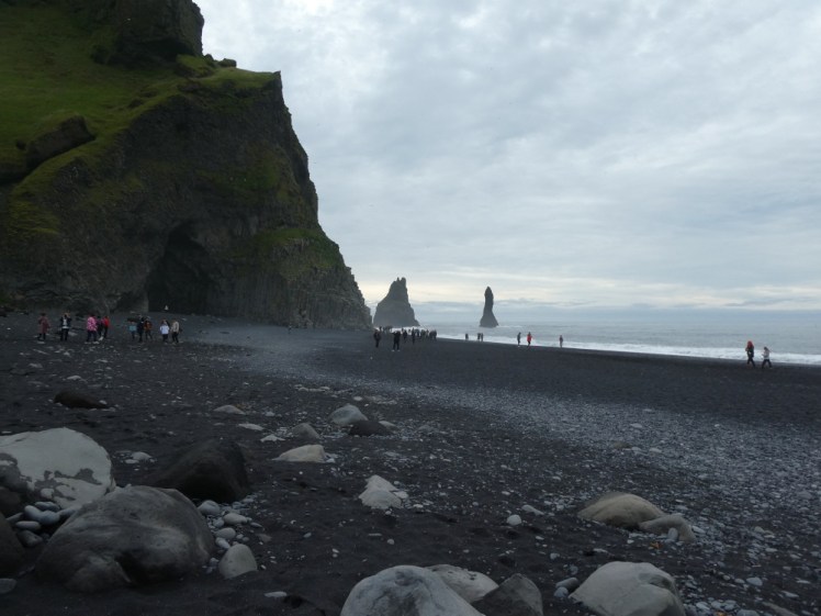
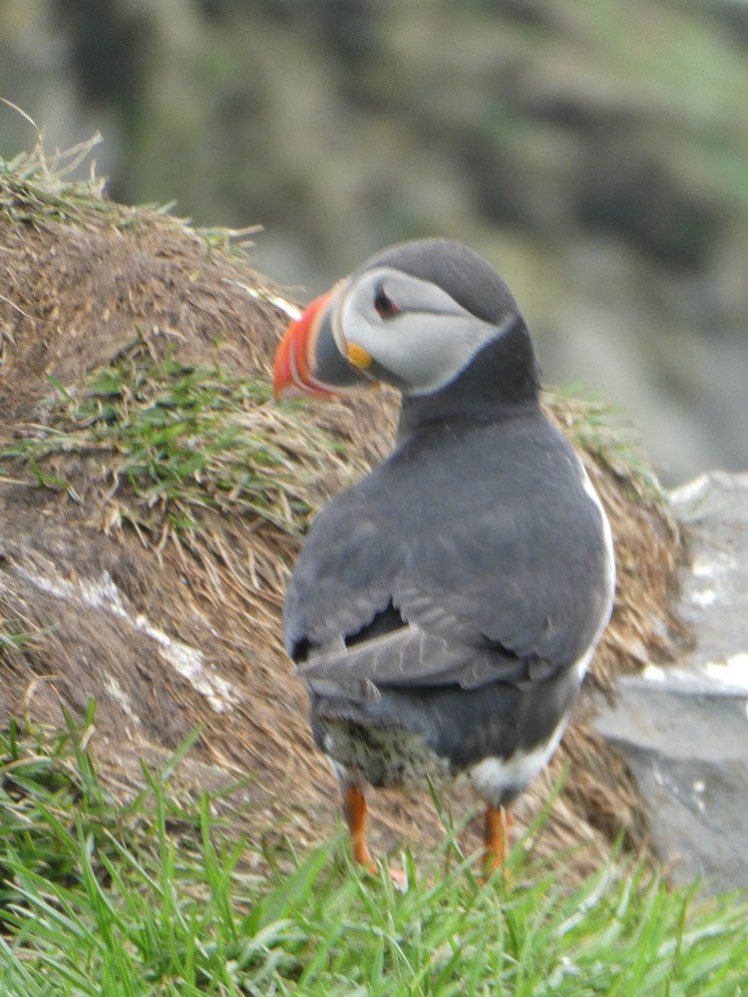
Next up, Dyrhólaey, which is the big lump of rock at the other end of the beach. There’s a big natural arch here but it’s also home to a colony of puffins, which are very easy to find – just follow the tourists and go where their cameras are pointed. No one ever mentions that puffin colonies absolutely stink of fish.
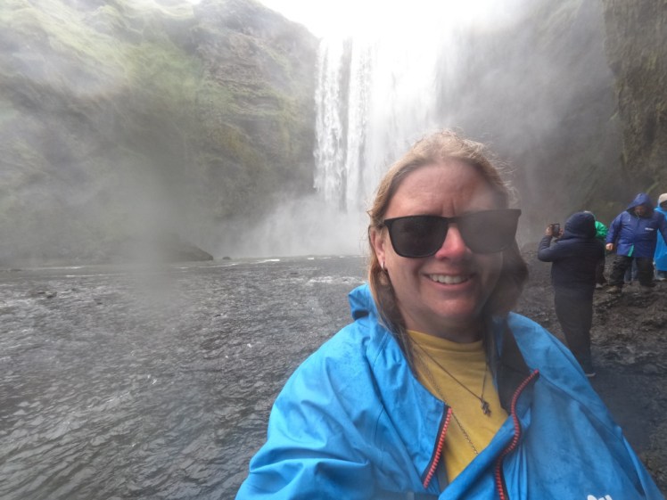
A stop at Skógafoss next, where I put on my waterproofs and waded as far round as I could to get as close as possible. If you’re willing and able to get wet, you can get a lot closer than everyone else.
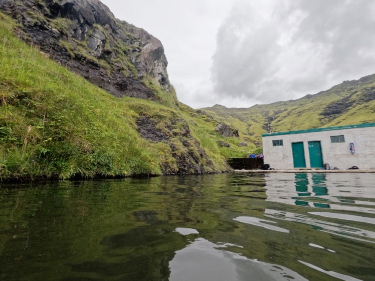
Pool number fourteen: Seljavallalaug, which is Iceland’s first swimming pool. You turn off the Ring Road, find a tiny car park and then hike up into the mountain until you find the hot water storage tank that collects the natural hot water pouring out from underneath the volcano and pipes it into the concrete swimming pool just behind it. Because this is all free and unmanned, the changing rooms range from “a bit dated” to “needs to be burned to the ground” and they were at the extreme end of the latter this time. The pool itself is fed entirely by that natural hot water, a hot trickle coming down the mountain and a cold spring to keep it from taking your skin off. It’s all quite green and the pool is growing algae. It does occasionally get drained and pressure-washed but not often. Nonetheless, get it from the right spot and it’s quite Instagrammable.
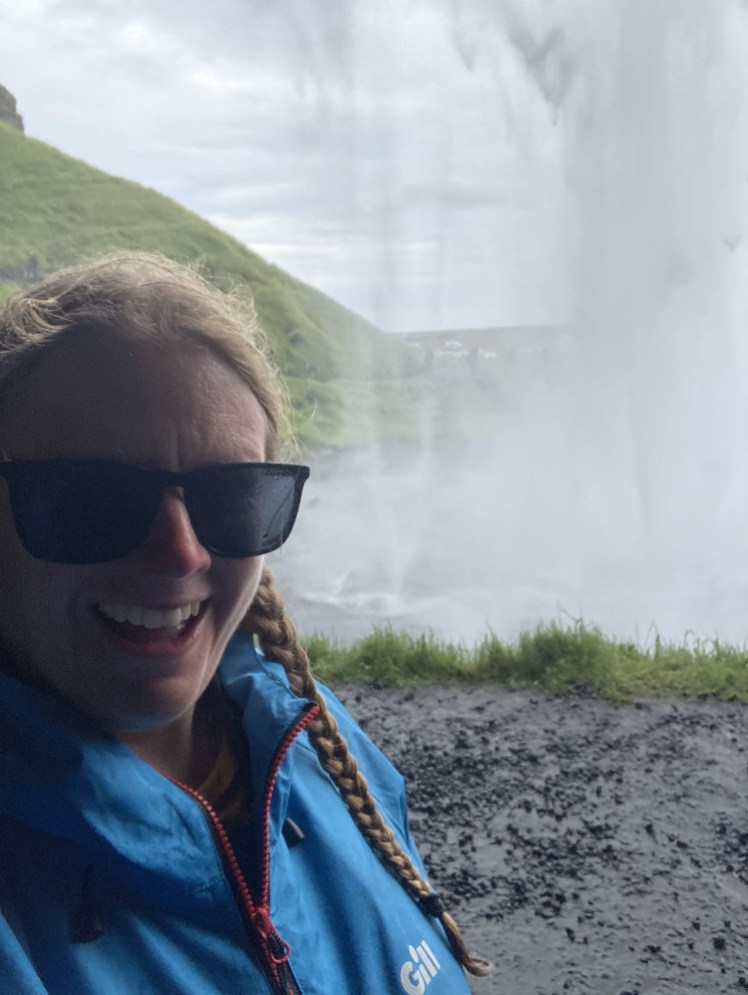
Next up was Seljalandsfoss, which is the waterfall that’s carved out a cave so you can walk behind it. Again, waterproofs, sandals and a willingness to get wet are really helpful things to bring here. Then I walked round to Gljúfrabúi, which is supposedly hidden, and almost as busy as Seljalandsfoss itself. This is one where you definitely need to be willing to get wet as it pretty much fills its own cave. You need to paddle and you need to let the waterfall almost fall on your head.
From here, it was time to spend somewhere to camp and Hveragerði seemed a good call. It was very good! Hveragerði’s campsite gives you an assigned numbered space so you can go out and come back and you’ve still got a space, the very same one you had before you left! Sadly, the swimming pool is right next door so there’s no need to move the van to spend the evening there. Hveragerði’s pool is 50m and until Laugardalslaug in Reykjavik was built, this was where all the big swimming events were held. I was too tired to swim many lengths. Thirteen days is a lot of days to spend in a campervan. But I enjoyed the shallow children’s pool, which is a lovely place to just sit in the hot water.
When I got back, I really had to sort out the van. I only have one more night after this, so I need to collect up all the rubbish that hasn’t made it to a bin and I have to pack up as much of my stuff as I can. So I did a lot of back-and-forths to the recycling bins. Yeah, it seems to mount up really quickly.
Day fourteen: heading for Reykjanes
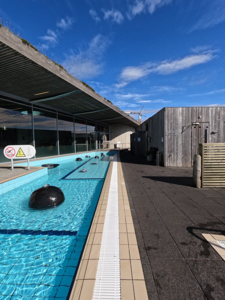
What to do with my last full day? I need to be back at a campsite near the airport by bedtime but what do I do on the way there? Well, I decided to run up to Laugarvatn Fontana which turned out to be a really good idea because a matter of weeks later, Fontana closed to be torn out and rebuilt from the ground up. It was supposed to reopen in June, which is why I went there last month. Then it went back to July 1st. Then July 15th. At time of writing, it’s now back to August 1st and I would bet it won’t be ready until at least October. So it was good to go one last time, even by accident, and take photos of what it looked like in its old iteration.
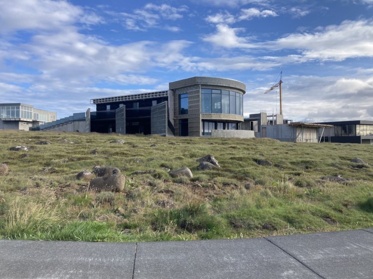
I spent long enough at Fontana that the next job was a straight drive along the Reykjanes peninsula. I opted to camp at Njarðvík, at a tiny campsite attached to Happy Campers rental. It’s only an 8-minute drive from here back to GoCampers and there’s a fuel stop right next door, so I could top up ready for drop-off, finish packing and do my daily walk – which I hadn’t done while spending as much of the day as possible in Fontana! – around the small town that no one else bothers to visit. It’s a little seaside town with a surprising number of Grand Designs-style houses dotted around.
Day fifteen: going home
A short day. I got up at dawn – because I’ve learned to appreciate that Iceland does get dark for a short while in July and August in a way it simply doesn’t in June – and packed everything up and then dropped off the van. It’s a useful thing to have, a van, but on the whole I feel like I’d rather have had a car and a tiny tent.
That was it. Shuttle back to the airport, get bored at the airport, fly home. Happy times.
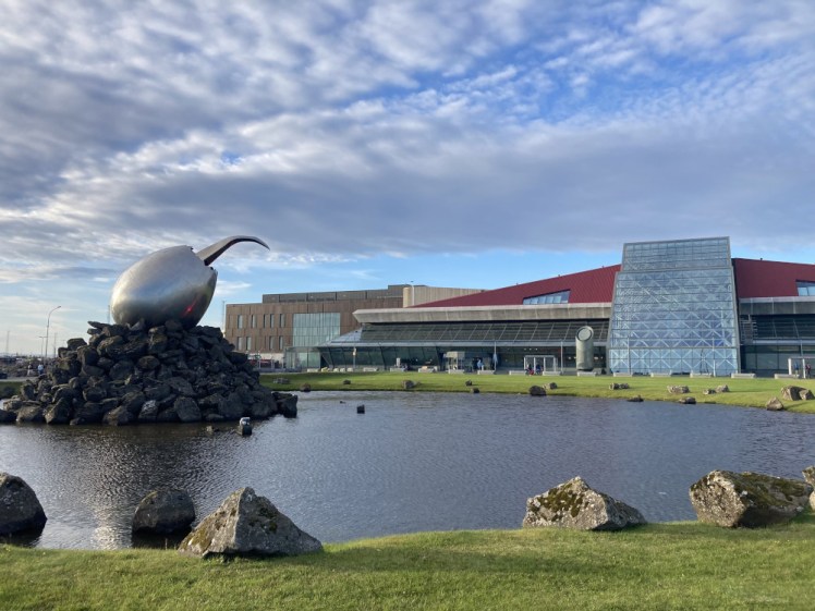
And so that’s my itinerary. It’s not an ideal one by a long way and it misses a lot of the things I’d do if I wasn’t jumping in every hot pot I spot along the way but it’s real and it includes a lot of variants on experiencing Iceland’s geothermal hot water and I might as well add it to my collection of itineraries.
 I Am A Polar Bear