After my last post about hiking solo, today I’m taking you along on a solo hike! I needed a Dartmoor logbook walk (10+km, in Open country – there are lots of other details but that’s the important bit) but I also wanted quite a gentle walk and my guidebook suggested this one, a Princetown branch railway walk which takes in three tors, two ex-tors turned quarries and some gorgeous scenery.
I’d had a bit of a disturbed night camping and so promptly abandoned my plans for a more strenuous walk which was going to start with a long hard two hour uphill trek. I’d written out a route card for that walk and all I’d done with this one was write a list of way points for the new one. But once I’d read through the description and traced the route with my finger, I realised I didn’t need a route card. I never used to use them when I was hiking solo anyway. But because I’m nice and I’m helpful, I’ve done a route card to help you follow this route. If you haven’t heard me singing the praises of my own route card, it’s an Excel sheet which does the sums for you. I like to use a walking speed of 3 km/hr and I’ve set it to start at 10am but if you change either of them, it’ll reconfigure everything for you automatically.
Download the route card here or download the GPS track from Wikiloc here for the Princetown branch railway walk
I meant to park at the foot of Leeden Tor, on the left of the Yelverton-Princetown road but because I didn’t know exactly where I was going, I ended up at the Sharpitor car park on the right. There isn’t even a car park marked there on the map. Well, that was ok. That gave me a free 400m on each end of my walk!

So I walked down the hill towards the car park I should have been in and turned left to follow the rough path along the bottom of Leeden Tor to the remains of the Princetown branch line. You can’t miss it; it’s a really well-defined gravel track. There’s no need for navigation on this walk, it’s all following the path and because it’s a old railway line, it’s a very gentle incline.

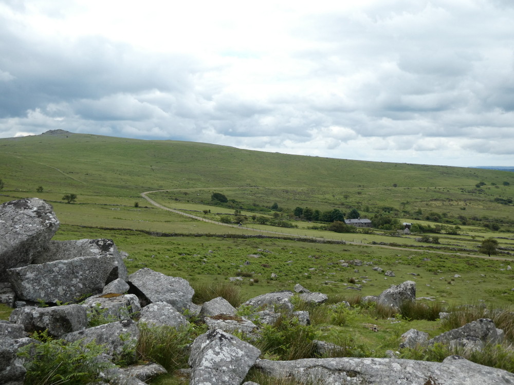
I paused on Ingra Tor because I like to bag the occasional tor. I don’t go after them and I definitely don’t go out of my way for them but if I’m walking right around one, I might as well pop up for a snack break with a view. And this route does pretty much circumnavigate Ingra.


My guidebook says that it would love it if this bit of line could be reopened as a tourist track with a steam train and it would be incredibly scenic. I mean, it’ll never happen but I’d 100% come for a ride every single time I came to Dartmoor. Up the valley, round in a big circle, over the stream, and back up the other side, chugging gently up past Swelltor Quarries to King’s Tor. Very nice indeed.


The day had dawned grey and damp but the further I walked, the brighter and hotter the sun got. I met a muddy golden retriever who wuffed ferociously at me until I got close enough to sniff, at which point she immediately lost interest in me, despite her owner’s entreaties to “come and say hello to the lady, Luna!”. I do like to see a muddy dog out and about.
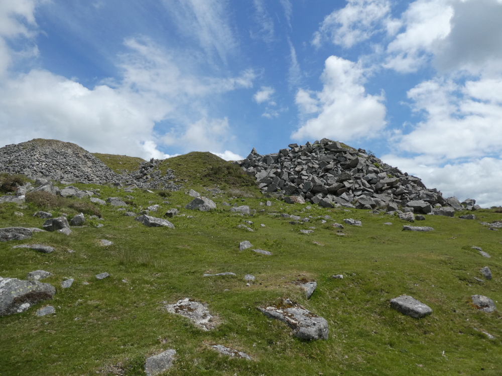
The track climbed slowly past the quarries, which I mistook for a moment for King’s Tor – I thought the spoil heaps were a small and disappointing tor. When I’d rounded the quarries, King’s appeared in front of me. A proper rugged rocky large crag of granite, exactly as I’d hoped it would look. So I stepped off the path and found myself a spot on the tor for lunch.

I’d brought my guidebook with me and as it was sunny, I got it out over lunch and compared the next bit of route to the view in front of me. My turning-back point was the line of car parks on the Tavistock-Princetown road and between me and the road was a field of antiquities – some of the longest stone rows on the moor, standing stones, tin workings, all sorts.

I… didn’t visit them. They were off just a bit too far to the west and I knew I’d be tired enough by the end of the walk without adding any extra. One day I’ll come and park at Merrivale to investigate them better but today wasn’t the day. I thought it would be a nice easy hop-skip-jump across to the road but I had to cross the leat. It was probably easiest to the right of where I crossed but there was a family sitting there and I’m unsociable on Dartmoor generally but especially during a pandemic, so I found another route. It’s a shallow leat which I could easily have paddled if I wasn’t trying to keep my feet reasonably dry but I found stepping stones. As it happened, I’d brought hiking poles with me. I don’t usually but the ladies I walk with swear by them and they turned out invaluable for helping me across those stones. My poles have holes and spring-loaded posts for adjustment rather than screwing up at your favourite height, which makes them much easier to use – and when the breeze catches the empty holes at the right angle, the poles whistle softly.

There was a small herd of ponies and foals by the road when I eventually reached it. I’m well-trained. I walked between them, not touching them, not disturbing them and quietly, if pointlessly, reassuring them as I went by. It’s so nice to see foals – I see a lot of ponies, especially around the car parks but foals are a less common sight. And further up the road, at the top of the Yellowmeade track, was a herd of cows. I love cows. They munched peacefully beside the path and stared at me and at the view and munched peacefully some more.


You can see the enclosures around Yellowmeade Farm from King’s Tor and it’s very visible on the OS map too. I’m no historian but that sort of thing, on Dartmoor, tends to date back to somewhere between the Bronze Age and medieval times. Mind you, there’s no reason why there shouldn’t have been a farm here for the last eight hundred years. You’d have to come walking with someone more knowledgeable to find out about that sort of thing.

Further down the track, which also has evidence of a past railway line, although this was a quarry line transporting stone rather than a cargo and passenger line, are Foggintor Quarries. I didn’t linger – there was a school minibus and at least five minibuses’ worth of schoolkids on a half-day of adventuring. A bit of walking, a bit of map reading and most importantly, some climbing and abseiling. I got a glimpse of the quarries as I passed. They looked bigger than the first quarries I’d seen, more cliff-like, a perfect spot for some ropework.

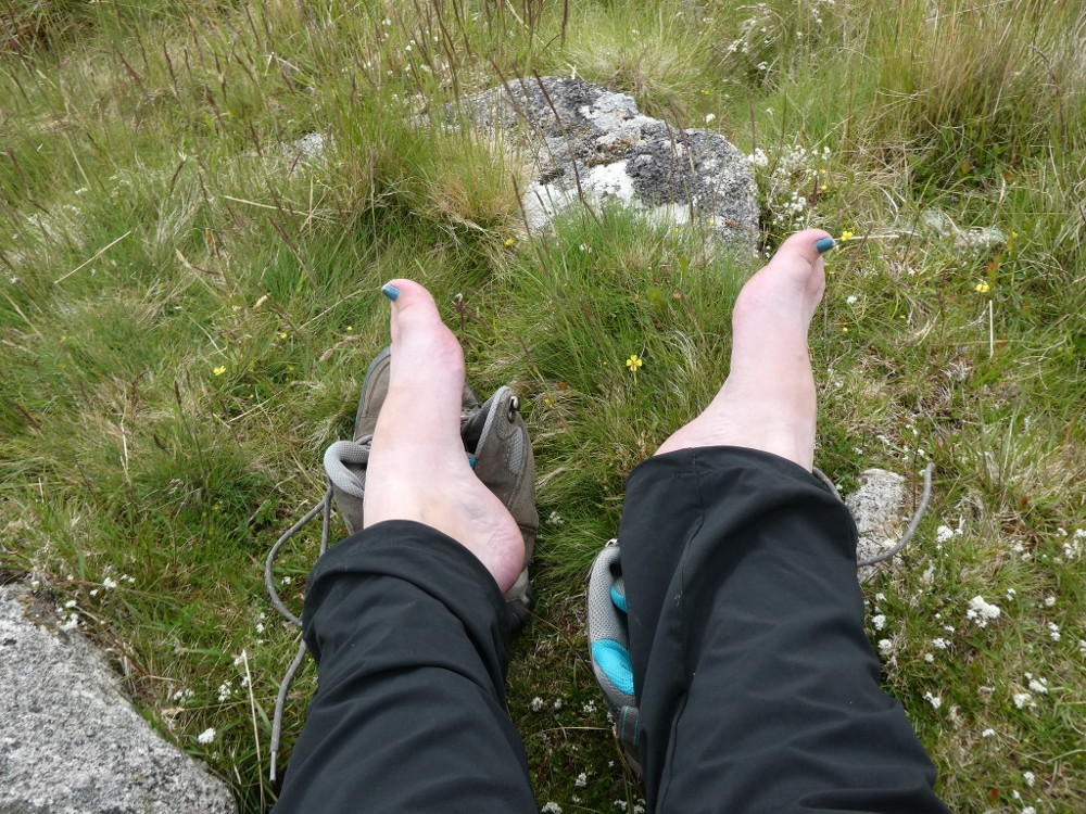
Now I was more or less back above the old Princetown branch line again. I paused and sat on a rock to attend to my sore, tired feet – a good rub of blister stick on the hot spots and red bits and then a spray of cooling mint foot spray seemed to work miracles. It’s the Body Shop one that was so popular when I was a teenager. I bought it for Iceland in 2018 and never used it, so I’ve transferred some of it from its original largish spray bottle into a miniature spray bottle and it now comes hiking with me. I recommend it!

I rejoined the train track and walked back where I’d been a few hours earlier until I reached the magnificent surviving railway bridge. It no longer serves much purpose but it’s pretty and it makes a good marker for the point at which to strike off for the summit of Leeden Tor. I always think that I really struggle with hills and ascents, and I do, but I did a quick calculation on the spot for how long it should take. I have a formula for that, which is what I use for writing route cards. At a walking speed of 3 km/hr (group), I calculated the time to walk the distance. Then you add in half a minute for every contour line crossed in the upward direction, or a whole minute if it’s steep. Because I’m bad at hills and because Excel formulas can’t deal with intricacies like varying steepness, I use a whole minute per contour in my sums. So armed with a summit ETA, I set off for the top of Leeden Tor and I got there ahead of schedule. So much ahead of schedule that I didn’t even need the climbing time I’d factored in. Maybe I’m not such a bad hill climber, I just expect too much of myself.


Leeden Tor is one of these annoying double tors with a second, slightly lower summit that involves a descent and another ascent but then I was standing on the hill above the car park I should have left my car in. A relatively easy descent and then I just had the 400m climb up to the car park I’d actually parked in. But there was something to make that last bit easier: an ice cream van in the Leeden car park. Yep, a last climb with tired feet under an unexpected sun is best done with an ice lolly and I highly recommend finishing your 13km hike with one.

So that was my walk. A suitable length for my logbook, but not too steep or too difficult, next to no navigational skills required – a really good walk for enthusiastic beginners, and you get to tick off at least three tors along the way.