A couple of weeks ago, I read Alastair Humphreys’ post on “a single map is enough for a lifetime of exploration” in which he ordered a custom OS Explorer map of his local area in order to explore his doorstep in greater detail, especially while bigger and further-flung adventures are on hold. I’d already been muttering about not having a local OS map and between that, discovering that I live on the corner of three maps (none of which show in its entirety the area I wanted) and this post… well, I now own a custom map too.
Alastair seems to live somewhere in the less-than-beautiful rectangle formed by Maidstone, Sevenoaks, Dartford and Chatham, criss-crossed by the A2, M20 and M25 – to quote him, “my map is right down in the relegation zone of rubbish adventure boredom!”. My own custom map is a little more adventure-ready, featuring neither city nor motorway nor even double-digit A-road. It contains two smallish market towns, lots and lots of picturesque villages, more hillforts than I expected and some hills with too many contour lines pressed too close together to be able to count them.
So this is the first of a series of posts about my explorations of my custom map. It’s ludicrous to call them “episodes” but I’m a ludicrous sort of person and if you can’t be ludicrous during a plague, when can you?
The evening it arrived, I sat on the floor with my map, searching for a reasonably short circular route somewhere reasonably interesting. My dad would be coming on this first exploration, and probably most of the others, and although he’s reasonably fit, his next Big Birthday will be 70 and he’s not up for massive expeditions. Neither am I, really.
I found a bit of woodland criss-crossed with footpaths and bridleways, on a hill. I’d never heard of it, which boded well for adventure and I could see a 2-3km round walk which could be shortened or lengthened according to need. So on Friday, off we went.
Much to our surprise, the bit of woodland turned out to belong to the Woodland Trust. It had a proper car park with a gate and four or five marked trails. The Oak Leaf trail pretty much matched what I’d planned and we could always cut away via the Owl trail if we wanted. You’ve never felt such a fool, by the way, bringing an OS map and compass to a marked woodland trail.

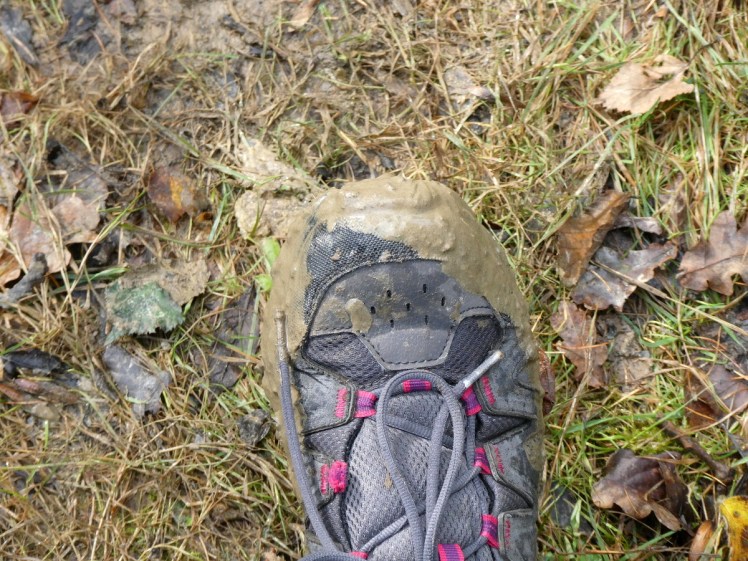
We were both in walking shoes that have been perfectly sufficient for all our walks so far this year – I have to take him out quite regularly otherwise he wears out the carpet and huffs too much at the window. It’s a bit like owning a large dog. The Oak Leaf trail started following the western side of the Floreat Wood, which is probably a spectacular meadow in spring and is currently an incubator for dozens, if not hundreds, of stick-thin juvenile trees. It was wet. We weren’t put off but neither were we shod for “a wet field”. We squelched across the bog, laughing at how this wasn’t what we were expecting! Then we came to the hill.

I guess it’s not too bad a hill in the summer. We’ve climbed some hills this year and my lower legs hate it. I think this one is probably no worse than many we’ve done. But it was muddy – thick mud, slippery mud, squelchy mud and, further up, the sort of mud that sucks at your shoes. I should have worn my serious boots. He shouldn’t have worn off-white trousers. We should have borrowed Mum’s walking poles. I may invest in a set to keep in my bag for unexpected events like this.

Oh, it was a climb and a half! On the other hand, it was slow enough for my lower legs to do little more than grumble, rather than shriek with agony like they might have done had there been no mud. We were having an adventure! This wasn’t what we expected! Look, we’re climbing a muddy hill!

At the top of the worst of the mud was a bench, on which I took the following selfie. My dad is getting the hang of selfies and even occasionally requests one. This one, I admit, was prompted by the words “smile at the camera and pretend you’re enjoying it!”.

It got less muddy after that. We reached the top, the trig point at 210m. The car park seemed to be at 89m and Dad still works in imperial, so he calculated twice that we’d climbed nearly four hundred feet. The path became better. Still not the kind you’d walk in stilettos but our shoes were more suited to this sort of grassy mud and we were no longer climbing. We were still only a quarter of the way round our circle, though, and in forty-eight minutes had only covered 1.2km, according to a very rough measure off my map, using the scale on the edge of my compass (which my GPS later counted as 1.7km, which frankly isn’t a lot better).

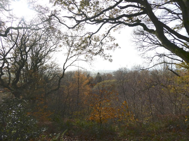
We walked down through woods; more pine, beech and birch than oak. We’re gradually learning to recognise trees. I’m sure I knew them better in primary school but then, aged six or seven I could identify from a distance every car on the road.


At the bottom, a gate led onto a grassy field. The public bridleway went out a little way to a triangular point and then returned to the woods but the Oak Tree trail remained in the woods and as that was easier to spot than a track across the field, we just followed it. And there, a couple of hundred yards on, was the gate where the bridleway returned to the woods.

We debated whether to continue on Oak Tree or divert onto the shorter Owl. We decided to cut outwards down Owl and decide again in ten minutes when the two paths reconvened. Oak Tree made a big triangular detour down to the south before coming back up, almost in parallel, whereas Owl cut across the top. But the path was good and wide and clear and despite the mud and the climb, neither of us was tired yet. So we took the big pointy Oak Tree trail. It went nice and mostly-flat through woodland. We saw some donkeys in the field just beyond the trees, a couple of squirrels, some bird nests – or maybe just tangles of twigs – and a lovely waggy golden-white dog. And then we were back on the combined trail and the gate at the end of the woodland was right ahead.


To my surprise, we’d walked more than five and a half kilometres. It had been more of an adventure than I’d expected and a very satisfying start to my explorations of my custom map.

2 thoughts on “A Single Map episode 1: a walk up a very muddy hill”