Last weekend I went on a Level 3 walking weekend in South Wales with my Girlguiding region. Level 3, in our terms, is a bit above Mountain Training’s Hill & Moorland Leader but a little below full Mountain Leader.
I am not a Level 3 walker.
When I walk – which hasn’t been recently – my terrain would be considered Level 1, Lowland by both schemes. But it gave me a push to get outside & it gave me informal navigation lessons. I started joining the region walks because I’d totally forgotten how to use a compass. Now I know again. I also know some micronavigation, I can match the map to the landscape and I can pace out distance.
Our levels don’t necessarily match difficulty of the walk. It’s about a) distance from rescue b) potential to get dangerously lost c) altitude. But a logbook walk for a Level 3 qualification needs to be a certain distance or time & while I can manage that, I don’t enjoy it in wet boots.
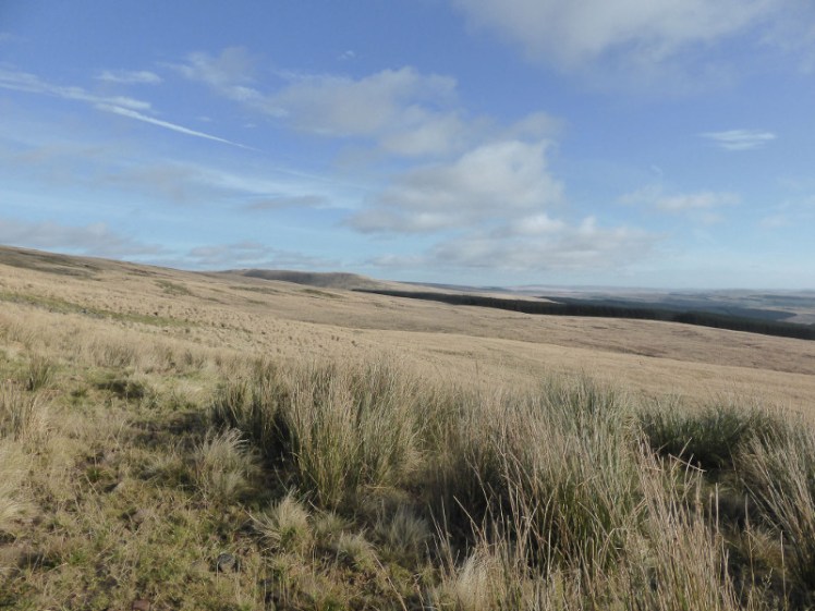
My boots, like me, are more suited to Level 1 and pleasant weather. To be honest, I prefer walking in my mountain sandals but the UK harbours adders so I’m very cautious where I walk in sandals. These two walks both featured long reedy-grassy stuff. First, you don’t know where solid ground is walking on this stuff. Are you going to compress it and walk on solid grass? Is the ground a few inches further down than you can see? Or is this stuff growing in boggy water?
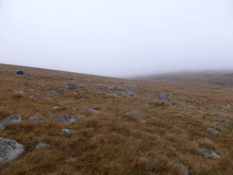
On Saturday, the answer was always the water. Stumbling, because it’s hard to walk on such uneven ground, I splashed through ankle-deep water. I got reeds wrapped around my ankles and fell in. At one point I did a full Superman dive. I killed my watch (the watch-mender said “Yes, it’s certainly full of water” and also “that was a pain in the bum”). I shrieked a word I don’t use in this blog right across the hillside. I hated it. My boots sloshed from about half an hour after we set off. I was soaked to the skin right up above my knees and almost to my elbows.
We walked 7.5 miles in 6hr 46, maximum altitude of 515.5m and an ascent and descent of 1,133.1m.


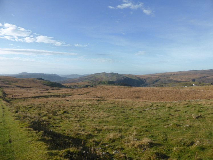
I enjoyed Sunday more. That’s partly because we did a non-strenuous walk with some geocaching and micronavigating and partly because it was in the Ogof Ffynnon Ddu National Nature Reserve – an area I spent a lot of time underneath in my caving days. The sun was out, my clothes were drier after a night on a radiator – but alas, my boots were still cold and wet. And when I say wet, I mean they still sloshed when I put them on in the morning.
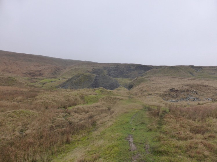
The walking was mostly less wet. I saw a prominent stone wall for the first time ever, I walked up the tramway for the first time ever, I was introduced to Black Mountain itself for the first time ever. But we also climbed up to Fan Fraith and crossed the moor to Carreg Cadno (at least I think so – my OS map is still in the car and I can’t find any free maps that name all the little summits online) and the saddle between the two was pretty boggy in places. Just as my boots were beginning to threaten to dry out a bit, I was back in ankle-deep reddish-brown water.
We walked 8.3 miles in 5hr 51, reached a maximum altitude of 677.4m and although our ascent was 1,355.5m, our descent was exactly 10m longer. I can’t account for this at all. I switched the GPS on and off right at the car.
As for the astonishing difference in time and distance over the two days – we walked a mile further in an hour less on Sunday and it didn’t feel like it at all (that’s 1.11mph average vs 1.42mph average) – I guess we spent a lot of time standing looking at the map on Saturday. We also cut our planned route a little short, partly because of Alice’s knees and hip and partly because of the weather and the impending dark.


It was one of those trips where, if you’re asked at the time if you’ve enjoyed it, the honest answer is a hard no. But I’m quite proud of myself for surviving a Level 3 weekend, for not being the one always trailing behind the group and for being equal to such navigation as was put to me.
I will probably not go on the Level 3 weekend next year though.