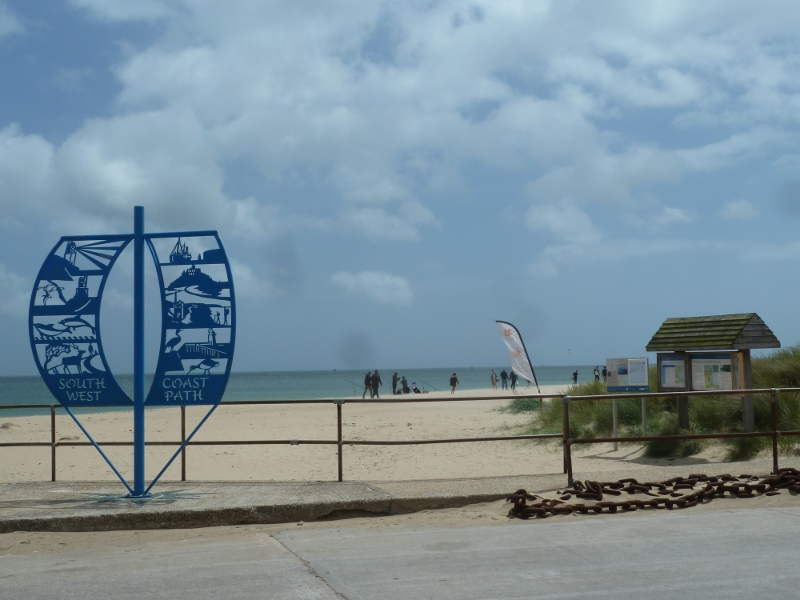
I’ve lived in Dorset all my life and I’ve spent a reasonable amount of time scrambling around the clifftops, ever since I was introduced to them on the school trip to Leeson House in 1996 (this trip is mandatory for every single schoolchild in Dorset, apparently). In 2014, it finally dawned on me that the South West Coast Path exists and that 90 or so of its 630 miles are in Dorset. I don’t have the time or stamina to just walk the whole thing, so I thought I’d start doing it in chunks. Chunk 1: South Haven Point to Swanage.
I left my car in Swanage and took the Purbeck Breezer bus (number 50) back to Shell Bay, at the southern end of the Sandbanks chain ferry, where my walk would begin.
The first bit was on sand. I hate walking on sand. I hate the way it shifts beneath my feet, I hate what hard work it is to trudge through and I don’t really enjoy the way the strong wind literally sandblasted my face that day. Every few steps, the wind would pick up and blow me so hard that for a moment, I had to turn my back on the wind and wait for it to drop so I could actually walk. I swore at the wind under my breath and I swore at it at the top of my voice. I considered waiting there until longshore drift had moved the beach far enough north that I would be back on solid ground rather than continuing to walk on it. I could have hopped off the beach, through the dunes and onto the main road but I’m terrified of snakes and I know snakes like to live in sand dunes. I’ll take walking on sand over confrontation with a snake any day.
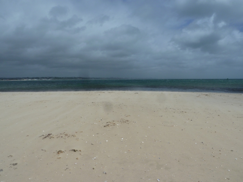
It seemed like hours before I reached Knoll Beach visitor centre and car park. Blessed car park, a solid tarmac route back to the main road that meant I didn’t have to walk through the dunes. I found a bench and sat and ate my picnic and weighed up my options. According to the map, I was very nearly at the end of the beach – when I got to Middle Beach, I’d go up the lane and onto solid land. Once I was off the beach, I’d be at Old Harry Rocks and you can see Swanage from there. Once I was off the beach, my walk was almost over.
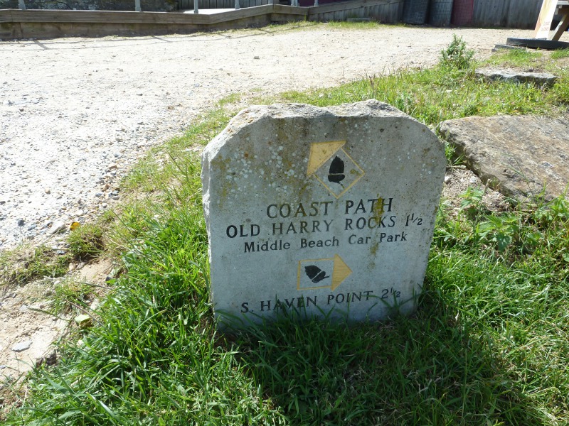
There was a marker stone at Middle Beach. I’d walked two and a half miles from South Haven Point. It doesn’t look or feel like two and a half miles, but on the other hand, it also feels like two hundred miles. I left the beach and the sea behind me and went up the path that would lead to Old Harry.
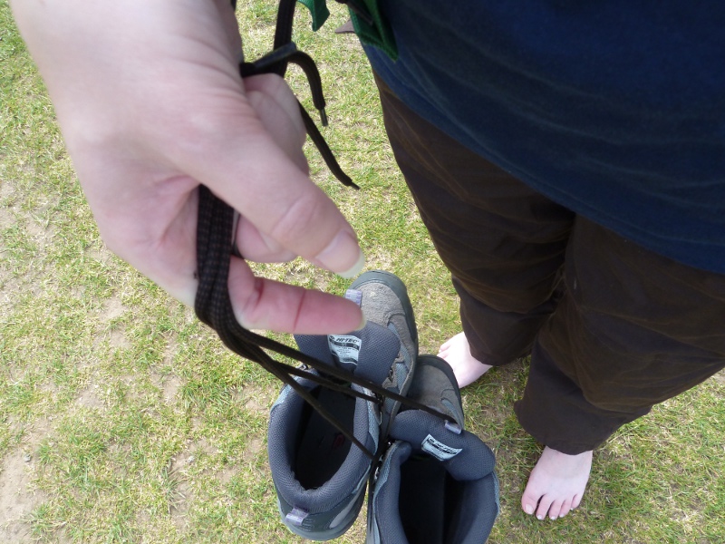
The route to Old Harry was smooth and flat, damp brown sandy earth under a layer of short grass. My feet were sore and burning after all the effort of walking on the sand so I took my boots off and once I’d done that, I thought I might as well enjoy walking barefoot for a little while. Actually, it was more comfortable than walking in the boots, until I reached a gravel path. That was going to hurt so I put the boots back on.
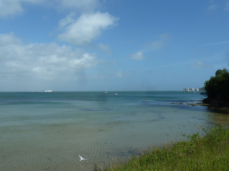
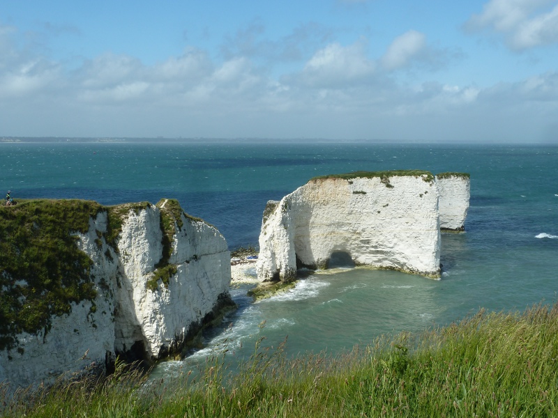
Old Harry is a lovely bit of textbook coastal formations – stacks, stumps and even an arch. They’re at the opposite end of the chalk ridge that once joined the mainland to the Isle of Wight – they’re the less well-known cousins of the Needles and they look great on a sunny day. I’d landed on them by kayak a little while ago. Past Old Harry is Barrow Down, another stretch of smooth green grass and then it’s a fairly easy run downhill, give or take a couple of run-ins with the gorse, before you emerge in the back streets of Swanage.
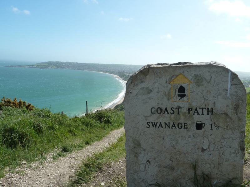
I’d intended to stop for an ice cream but my feet were hurting and it was all I could do to limp, barefooted again, back to the car. I’d successfully walked from South Haven Point to Swanage. That was 7.5 miles down, 622.5 to go.